
Streets and Numbering
Streets and Numbering

Originally the streets were unpaved, sometimes covered in oyster shells, and boards were in place for sidewalks. Teams of horses pulling huge wagons of wares would crunch along on the crushed oyster shells covering the streets to keep the dust down.
Streets located north of Congress Avenue were named after American Revolutionary patriots; for example, Washington, Franklin, and Adams Streets. Also recognized for their contributions were Army General Nathaniel Greene and General Arthur St. Clair. Unfortunately for St. Clair, his named street was later bumped to honor George T. Pennington, Mayor of Havre de Grace from 1923 to 1939. Warren Street was named in honor of Dr. Joseph Warren, one of the Sons of Liberty and President of Massachusetts' Provincial Congress. Dr. Warren was killed in 1775 in the Battle of Bunker Hill. St. John Street was named after the Anglican Parish of the Church of England.
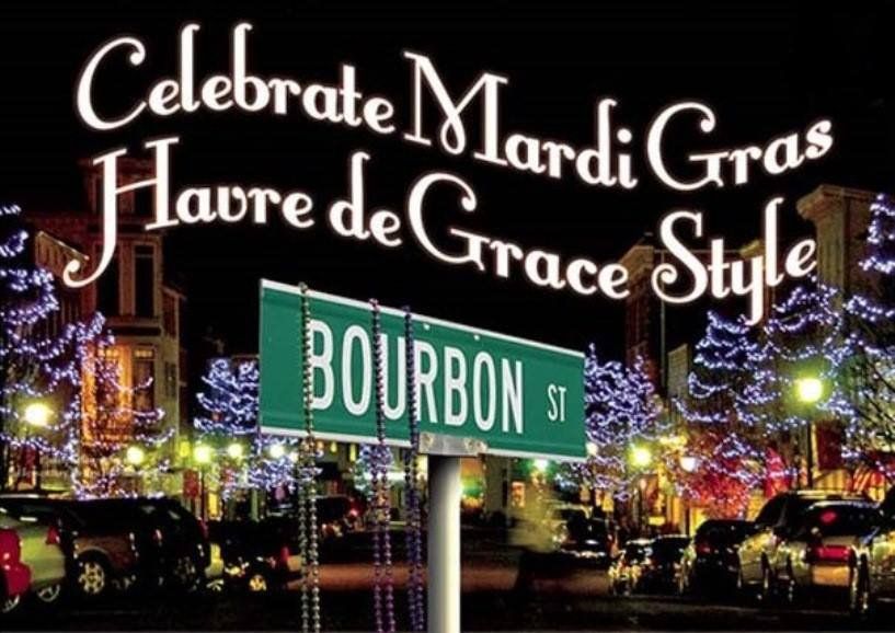
Located south of Congress Avenue, named to honor our country's governing body, are streets with French names—given as a nod to our country's alliance with France during the Revolutionary War. Here you will find: Alliance Street—in honor of our friendship with France; Lafayette Street—named in honor of the Marquis de Lafayette who served as Aide de Camp to General George Washington; Bourbon Street—named in honor of Louis XVI and the French Royal Family, known as The House of Bourbon.
Girard Street has two possible histories—Girard, with this spelling, was an Ambassador from France. Gerard, spelled with an "e", was a banker from Philadelphia who was known as the financier of the Revolution. Concord Street is a reminder that we not forget those who died for our country in the Battle of Concord in Massachusetts. Market Street was named for the once thriving market located in the center of town. Juniata Street was named for a river system located in Pennsylvania. Other streets named for bodies of water include: Erie, Ontario, Superior and Otsego. And finally, for Robert Young Stokes, the owner of the land that would become our city, Young, Stokes, and Giles Streets all give a nod to his family.
Union Avenue is a road that has run through Harford County for approximately 350 years. Being the main route for the "post" (mail), Post Road (its former name) was the main thoroughfare carrying traffic north and south. Envisioned as early as the 1660s, Post Road linked Alexandria to Philadelphia and was also known as "King's Highway." The Old Post Road is what later became Route 40 and is Union Avenue through the center of the City.
Taverns were built along the road and existed every ten or twelve miles. In 1735, in order to standardize service and quality, "ordinaries" were established. Fees, cleanliness and the number of beds allowed per guest room were determined by law. Passengers traveling in coaches went about three to four miles per hour on a good day. By all accounts, the roads were rough throughout the length of a trip, with tree stumps in the roads and marshes and streams to traverse.

Property Numbering in Streets
Streets running north and south:
Property numbering in streets running north and south begins at Congress Avenue in the center of the city with #100 and those streets running north go in the direction of the Lockhouse and the Susquehanna Museum of Havre de Grace. Streets running south from Congress Avenue begin with #100 and lead in the direction of Tydings Park, the City Marina, Promenade, and Concord Point Lighthouse.
Streets running east and west:
Property numbering in streets running east and west begins at the Susquehanna River and runs west toward Juniata Street, where in the early 20th century some circus groups camped in winter.